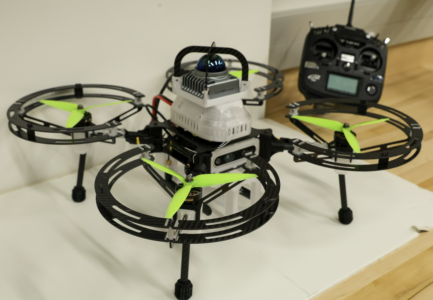
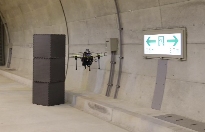
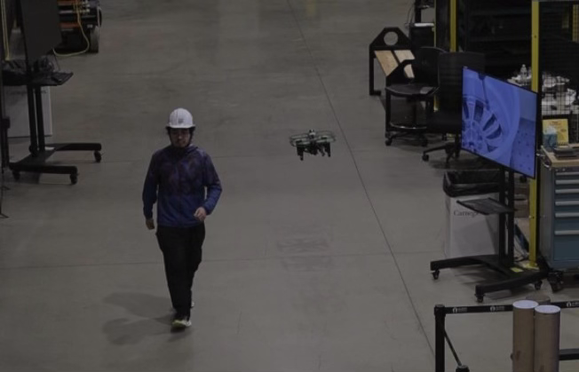

Project Overview
Infrastructure tunnel inspection faces critical challenges with safety hazards, limited accessibility, and high costs associated with manual inspections in confined, GPS-denied environments where traditional navigation systems fail. Our autonomous UAV inspection system addresses these limitations through specialized vision-inertial navigation algorithms that enable stable flight in long tunnels while maintaining safe standoff distances from walls and obstacles. The platform integrates synchronized high-resolution cameras and depth sensors to capture comprehensive visual and geometric data during low-speed autonomous flights. Advanced computer vision algorithms process this data in real-time to maintain precise flight paths while recording detailed structural information for post-flight analysis. The system’s innovative approach eliminates the need for human inspectors to enter potentially dangerous tunnel environments while providing superior data consistency and coverage compared to traditional inspection methods.
The technology delivers transformative benefits for transportation authorities, utility companies, and infrastructure management organizations by enabling rapid, comprehensive tunnel condition assessments with minimal operational disruption. Data products include high-resolution stitched visual maps, precise 3D reconstructions, and automated anomaly detection reports that support predictive maintenance strategies and regulatory compliance documentation. The system reduces inspection time by up to 80% while improving safety outcomes and data quality for critical infrastructure assets including subway tunnels, highway passages, and utility corridors. Our research team combines expertise in autonomous flight systems, computer vision, and infrastructure assessment, actively seeking partnerships with transportation agencies, engineering consultancies, and drone technology companies to deploy this specialized inspection capability across diverse tunnel infrastructure applications.